THE MAP COLLECTION
Aviation, mapped.
Maps.aero brings weather, flight following, aircraft lookup and airport information together for pilots, dispatchers and aviation enthusiasts. Start with a map, look up an N-number, or explore the airport at the other end of your journey.
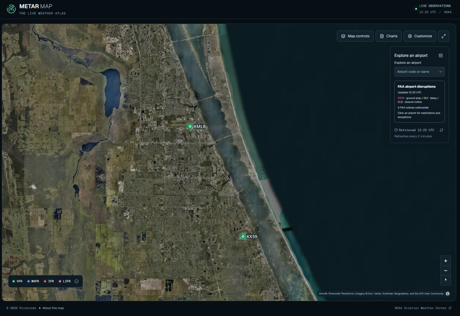
METARMAP
Explore live METAR weather reports on a map of airports around the world. Compare conditions across a region, check an airport you know, and customize the display for your desk, flight department or shared screen. See individual airport observations in geographic context for a wider weather picture.
Open METAR Map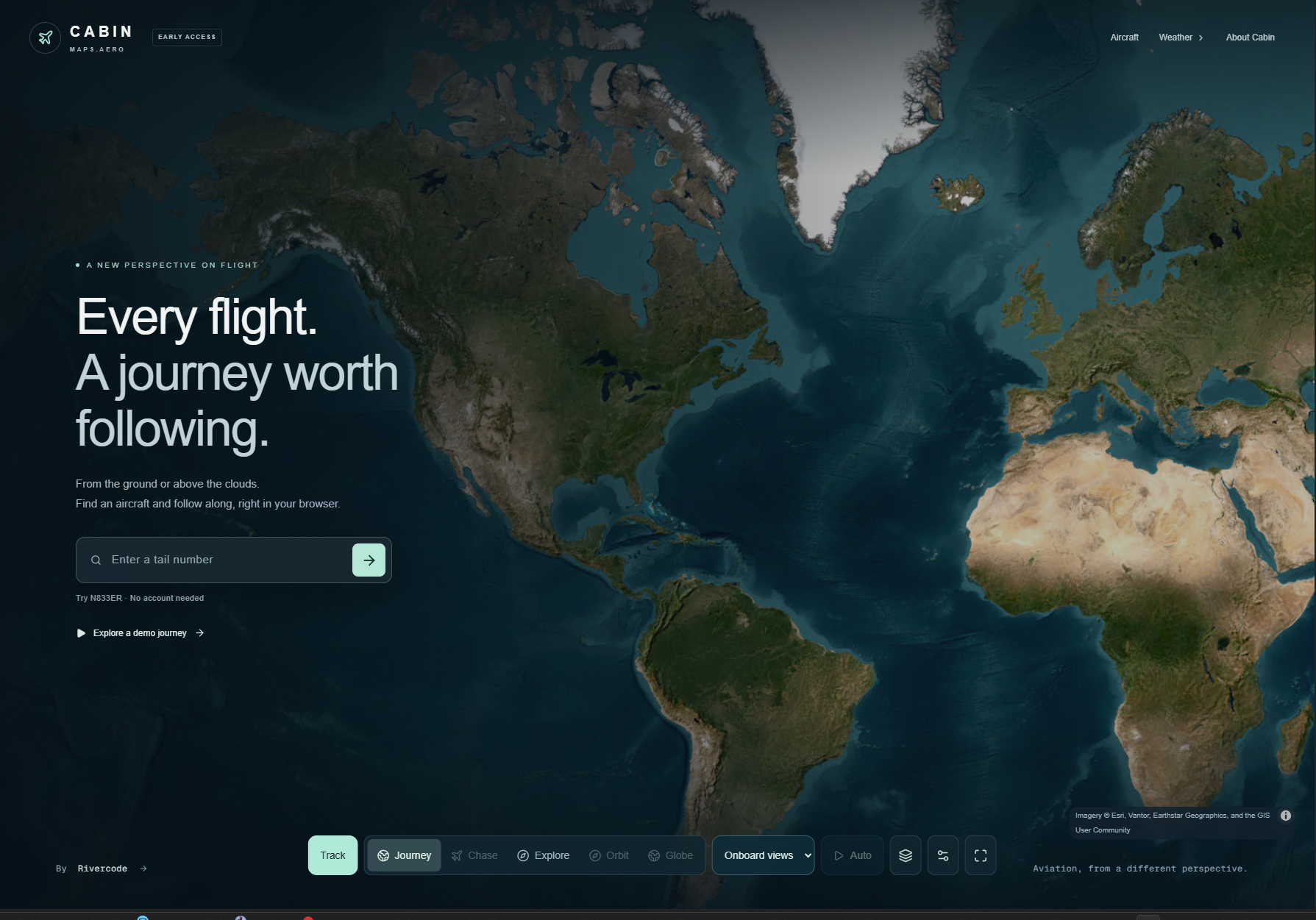
CABIN
Follow a flight with Cabin, a map built around the journey. Explore the route and surrounding geography from the ground or above the clouds. Whether you are a passenger watching the miles pass or an aviation enthusiast following along, Cabin offers a clear view of where the journey takes you.
Explore CabinAircraft Registry
Look up a US aircraft by its N-number using FAA aircraft registry data. Find the listed manufacturer and model, or browse the directory to explore aircraft registrations. It is a useful starting point when you spot a tail number and want to learn more about the aircraft behind it.
Look up an aircraftAirports
Search the airport directory by ICAO or IATA code, airport name or city. Explore runway details, radio frequencies, aviation weather and available FAA charts. Use it to get familiar with a destination, revisit your home airport, or discover the airports that connect places around the world.
Explore airportsExplore major airports
Start with one of these major airports, or search the directory for your next destination.
- Atlanta (KATL)
- Los Angeles (KLAX)
- Chicago O’Hare (KORD)
- New York JFK (KJFK)
- London Heathrow (EGLL)
- Dubai (OMDB)
Maps.aero is built by Rivercode. We create aviation maps and tools that make weather, aircraft and airport information easier to explore, whether aviation is your work, your next trip or your curiosity.
The collection is growing. More maps and tools to come.
Imagery © Esri, Vantor, Earthstar Geographics, and the GIS User Community